Welcome to New York City, 1609
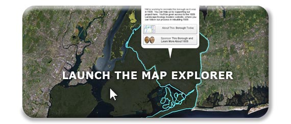
Have you ever wondered what New York was like before it was a city? Find out here, by navigating through the map of the city in 1609. You can find your block, explore the native landscape of today’s famous landmarks, research the flora and fauna block by block, and help our team continue to rediscover 1609. Launch the application below.
“The goal of the Mannahatta Project has never been to return Manhattan to its primeval state. The goal of the project is discover something new about a place we all know so well, whether we live in New York or see it on television, and, through that discovery, to alter our way of life. New York does not lack for dystopian visions of the future…. But what is the vision of the future that works? Might it lie in Mannahatta, the green heart of New York, and with a new start to history, a few hours before Hudson arrived that sunny afternoon four hundred years ago?”
– from Mannahatta: A Natural History of New York City
Why ‘Welikia’? And Where’s Mannahatta?
We’re going beyond Mannahatta, launching the Welikia Project ![]() to encompass all of New York City, including the Bronx, Queens, Brooklyn and Staten Island, and surrounding waters. Welikia
to encompass all of New York City, including the Bronx, Queens, Brooklyn and Staten Island, and surrounding waters. Welikia ![]() means “my good home” in Lenape, the original Native American language of the region. But Mannahatta hasn’t gone anywhere. For all who have come to love Mannahatta, the same block-by-block data is available above by clicking anywhere on Manhattan Island after pressing the “Launch the Map Explorer” button above. For those who want to know more about Welikia
means “my good home” in Lenape, the original Native American language of the region. But Mannahatta hasn’t gone anywhere. For all who have come to love Mannahatta, the same block-by-block data is available above by clicking anywhere on Manhattan Island after pressing the “Launch the Map Explorer” button above. For those who want to know more about Welikia ![]() , press the button, then click on any block in the other four boroughs on the map, where you can support Welikia.
, press the button, then click on any block in the other four boroughs on the map, where you can support Welikia.


