

Welcome to a wild place: this block in 1609! Through the tabs below, discover the wildlife, Native American use, and landscape factors of this block's original ecology, as reconstructed by the Mannahatta Project. You can also explore the block today and sponsor the Mannahatta Project into the future.
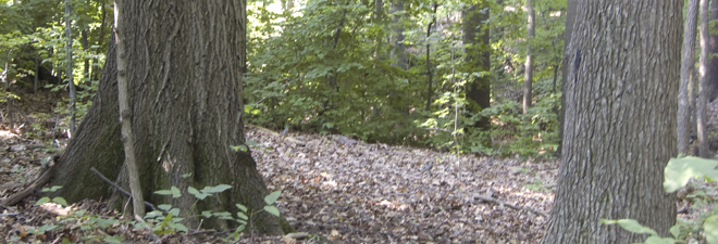
The natural environment of Mannahatta was so rich and abundant because of the underlying diversity of the landscape. Here learn about the landscape features and original ecological communities of this block in 1609.
Geological layers are based on a modified version of U.S. Geological Atlas of the United States; soil types are based on descriptions from the U.S. Natural Resource Conservation Service. Ecological communities follow descriptions from the New York State Natural Heritage Program. For more information, read Eric W. Sanderson's Mannahatta: A Natural History of New York City (2009).
| Landscape Feature | Quantity/ Percent Coverage |
||
| Topography | |||
| Minimum elevation (feet) | 32 | ||
| Average elevation (feet) | 39 | ||
| Maximum elevation (feet) | 45 | ||
| Hilltops |  |
||
| Hillsides |  |
||
| Shore | |||
| Minimum distance to shore (meters) | 584 | ||
| Soils | |||
| Deerfield |  |
||
| Hollis |  |
||
| Chatfield |  |
||
| Charlton-Sutton | |
||
| Windsor |  |
||
| Bedrock Geology | |||
| Manhattan schist |  |
||
| Surface Geology | |||
| Till | |
||
| Ecological Communities | |||
 |
|||
|
|||
|
|||
|
|||
| Modern Block Area (square meters) | 12,164 | ||