Welcome to the Mannahatta Curriculum
- a lesson plan;
- a page of background information that provides more information about the research behind each lesson plan; and
- a folder containing all the materials you’ll need for the lesson’s activities.
We encourage you to download this curriculum, copy the materials, share them with your students, and make as much use of them as you can. To share experiences, get tips, and talk to other educators, go to the Educators’ forum on our Discuss page.
Introductory Lesson (4MB)
Introductory Lesson Overview (13KB)
Students use maps and images to understand the basic idea of comparing the natural history of 1609 Mannahatta with the urbanized present of Manhattan. We recommend that this lesson be taught before any others in order to give students a sense of the “territory” they’ll be covering in future lessons.
Module I: Connectivity
Lesson 1: Tracing Mannahatta (17MB)
Students trace historic natural features from old Manhattan, and layer them over the modern street grid in order to see how the land has changed over time. Through this lesson, students will come to understand how much information they can learn just from close examination of visual evidence.
Lesson 2: Weaving a Mannahatta Muir Web (4MB)
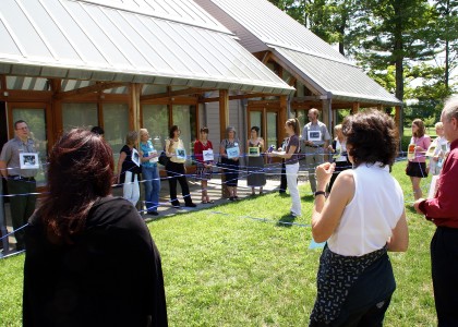
Students use their bodies and ribbon to create a web of habitats, species and abiotic elements that were present on Mannahatta. Through this lesson, they learn about the interconnectedness and interdependence of life.
Lesson 3: The Changing Life of a Water Droplet (5MB)
Students pretend they are water droplets moving through the water cycle — first on the Mannahatta of 1609, and next on modern Manhattan. This lesson teaches students about how humans have affected the movement of water, and what that can mean for the environment.
Lesson 4: Field Trip – Uncovering Streams in Central Park (5MB)
This field trip, in which students “uncover” an ancient stream in Central Park, reinforces what students have learned in the first three lessons about mapping, habitats, species and water on Mannahatta.
Module II: Landscape
Lesson 5: Island of Many Hills (1MB)
Students build clay models of sections of Mannahatta, then learn how to create contour maps based on their models. This lesson uses basic math and graphing skills to help students understand how the island’s topography has changed from 1609 to today.
Lesson 6: The Mighty Beaver (2MB)
In this lesson, students act out the roles of the different species that can live along and in streams and wetlands of Mannahatta. They learn how beavers alter the landscape and, in so doing, create new habitats for new species.
Lesson 7: The Search for Lenape Campsites (13MB)
The native people of Mannahatta, the Lenape, chose their campsites based on their proximity to what they needed to live: food, water, and shelter. In this lesson, students pretend they are Lenape families, working together to search for the best campsites on Mannahatta.
Lesson 8: Field Trip – Exploring Inwood Hill Park (2MB)
On this field trip, in which students explore the forest and salt marsh of Inwood Hill Park, students reinforce what they have learned in this module about topography, native habitats and Lenape life on Mannahatta.
Module III: Localism
Lesson 9: Migration, Immigration and the Importance of Diversity (5MB)
Students use bird migration to compare the biodiversity of 1609 Mannahatta with the cultural diversity of New York City today. In this lesson, students learn about the importance of diversity to natural and human environments.
Lesson 10: The Eco-History of Our Block (1MB)
Students use the Mannahatta website to learn about the ecological history of particular blocks on the island of Mannahatta-and then compare what they’ve learned with what exists there today.
Lesson 11: Designing the City of the Future (2MB)
Based on what they have learned from studying the history of Mannahatta, students design the city they hope will exist 400 years in the future, focusing on the city’s waterfront.
Lesson 12: Field Trip – Stuyvesant Town: Building a City on the Island (2MB)
On this field trip, students search for all the orignial ecological communities in what is now the Stuyvesant Town section of Manhattan. Students learn about how people changed the shape of Mannahatta island, and think about how people will continue to shape the island into the future. They pay particular attention to how the island’s waterfront has changed over the years, and what its future possibilities are.
Additional Lesson
High School Field Trip: Mapping the Ecological Communities of Lower Mannahatta (4MB)
On this field trip specfically designed for older students, participants use maps of lower Mannahatta’s ecological communities from 1609 to A) find out what kinds of nature flourished in the financial district 400 years ago, and B) use street chalk to draw those communities back onto the sidewalk. Students from the Academy of Urban Planning in Brooklyn, New York participated in this field trip in November 2008 as the culmination of “Mannahatta Week” at their school. See pictures from the trip here.


